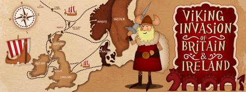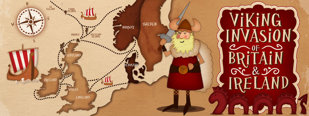
An illustrated map showing the routes taken by the Vikings leaving Norway, Sweden and Denmark on their way to Britain and Ireland. I’ve used mostly muted tones on this picture with just a touch of red on the viking ship sails, the scary sea monster and the rosy cheeks of the viking. He’s not too scary though, he might even be a bit smug.
My home town, Dublin was visited by the Vikings or Ostmen around 841, where they settled. the name Dublin comes from the Norse Dyflin or “Black Pool”, referring to a dark tidal pool where the River Poddle entered the Liffey at the rear of Dublin Castle.
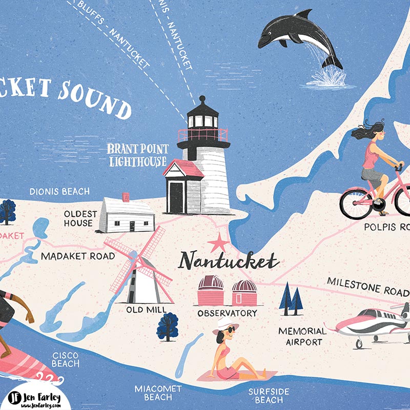
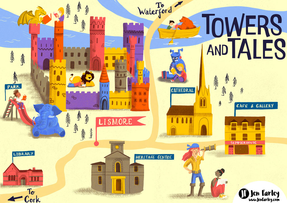
If you need a map illustrated for your project, book, magazine or website. Please don’t hesitate to contact me.

